
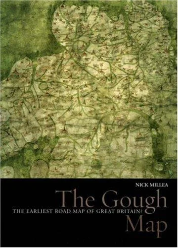
Details
Isbn 10
1851240225
Isbn 13
9781851240227
Publish Date
December 15, 2007
Publishers
Bodleian Library, University of Oxford, Bodleian Library
Number Of Pages
112
Subjects
British & Irish history: c 1000 to c 1500, Cartography, geodesy & geographic information systems (GIS), Maps, charts & atlases, Road Atlases, Travel
Subtitle
The Earliest Road Map of Great Britain (Treasures from the Bodleian Library, Oxford)
Language
eng
Cover Image
https://pub-b56f387ab1c54250b1ed7837e39f079e.r2.dev/entities/book/OL11949640M.webp
Cover Id
3000835
Openlibrary Work
OL3931367W
Physical Format
Hardcover
Oclc Numbers
137222416
Lccn
2007531532
Lc Classification
G5741.S3 M55 2007, G5740
Goodreads Id
2908334