
Details
Publish Date
1811
Publishers
Printed and published by Cramer, Spear & Eichbaum
Number Of Pages
295
Subjects
Inland navigation -- United States, Mississippi River -- Description and travel, Ohio River -- Description and travel, Louisiana -- Description and travel, Monongahela River (W. Va. and Pa.) -- Description and travel
Subtitle
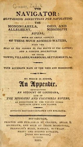
containing directions for navigating the Monongahela, Allegheny, Ohio, and Mississippi rivers ; with an ample account of these much admired waters, from the head of the former to the mouth of the latter ; and a concise description of their towns, villages, harbours, settlements, &c. with accurate maps of the Ohio and Mississippi ; to which is added, an appendix, containing an account of Louisiana, and of the Missouri and Columbia rivers, as discovered by the voyage under Captains Lewis and Clarke
Language
eng
Cover Image
https://pub-b56f387ab1c54250b1ed7837e39f079e.r2.dev/entities/book/OL14709625M.webp
Cover Id
6273546
Openlibrary Work
OL4989151W
Publish Places
Pittsburgh
Publish Country
pau
Edition Name
Seventh edition, imp. and enl
Ocaid
navigatorcontain1811cram
Oclc Numbers
3477787
Lccn
01008690
Lc Classification
F353 .C90
Relationships
Written By